— Géomètre-Expert · Cameroun
Cabinet CGE — Une signature certifiée sur chaque levé
▸ Agrément officiel
OGEC A061
Ordre des Géomètres-Experts du Cameroun. Numéro d’agrément public, opposable à toute procédure foncière.
▸ Certification nationale
NOCS · NIU M052416770918Y
Jerry William Mangele dirige une organisation technique pluridisciplinaire. Chaque mission porte trois enregistrements officiels vérifiables : OGEC A061, NOCS, NIU M052416770918Y.
Numéro d’Identification Unique délivré par l’administration camerounaise. Registre commercial vérifiable.
• Trois registres vérifiables
Accréditations opposables, pas d’approximation
/ Ordre professionnel
/ Registre national
/ Identification fiscale
OGEC A061
NOCS
NIU M052416770918Y
Agrément délivré par l’Ordre des Géomètres-Experts du Cameroun. Habilite à signer les actes fonciers à valeur légale sur l’ensemble du territoire.
Numéro d’Identification Unique délivré par la Direction Générale des Impôts. Entité juridique déclarée, facturation conforme aux marchés publics.
National Order of Certified Surveyors. Enregistrement actif, consultable auprès des autorités compétentes pour toute vérification préalable.
+ Organisation technique
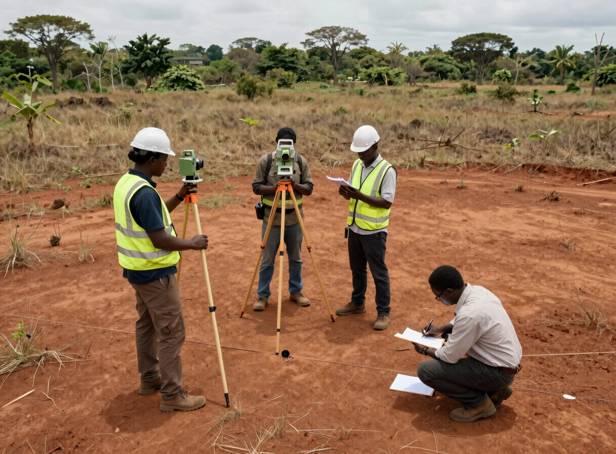
Une équipe de terrain, pas un opérateur isolé
Chaque chantier mobilise ingénieurs, géotechniciens, topographes et techniciens. La pluridisciplinarité garantit la continuité opérationnelle sur les projets complexes.
Ingénieurs géomètres · Géotechniciens · Topographes · Techniciens de terrain · Spécialistes SIG
✱ Équipement certifié
L’instrument juste pour chaque mesure
De la station totale au drone photogrammétrique, chaque relevé repose sur des instruments calibrés et des logiciels à référence internationale.
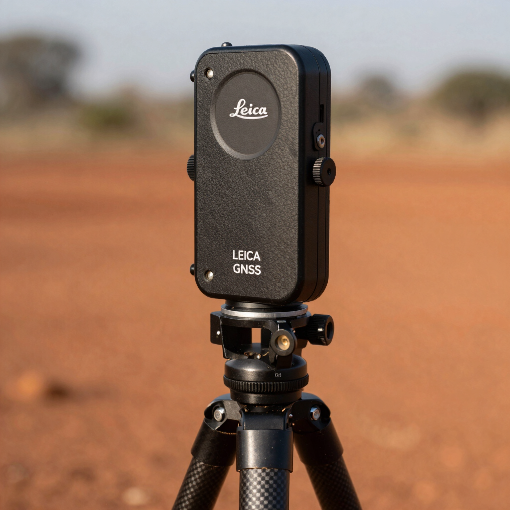
GPS / GNSS
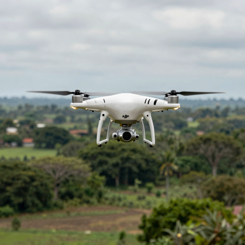
Drone Photogrammétrique
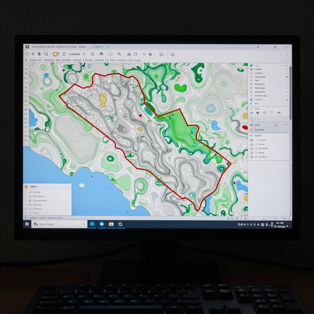
SIG / BIM
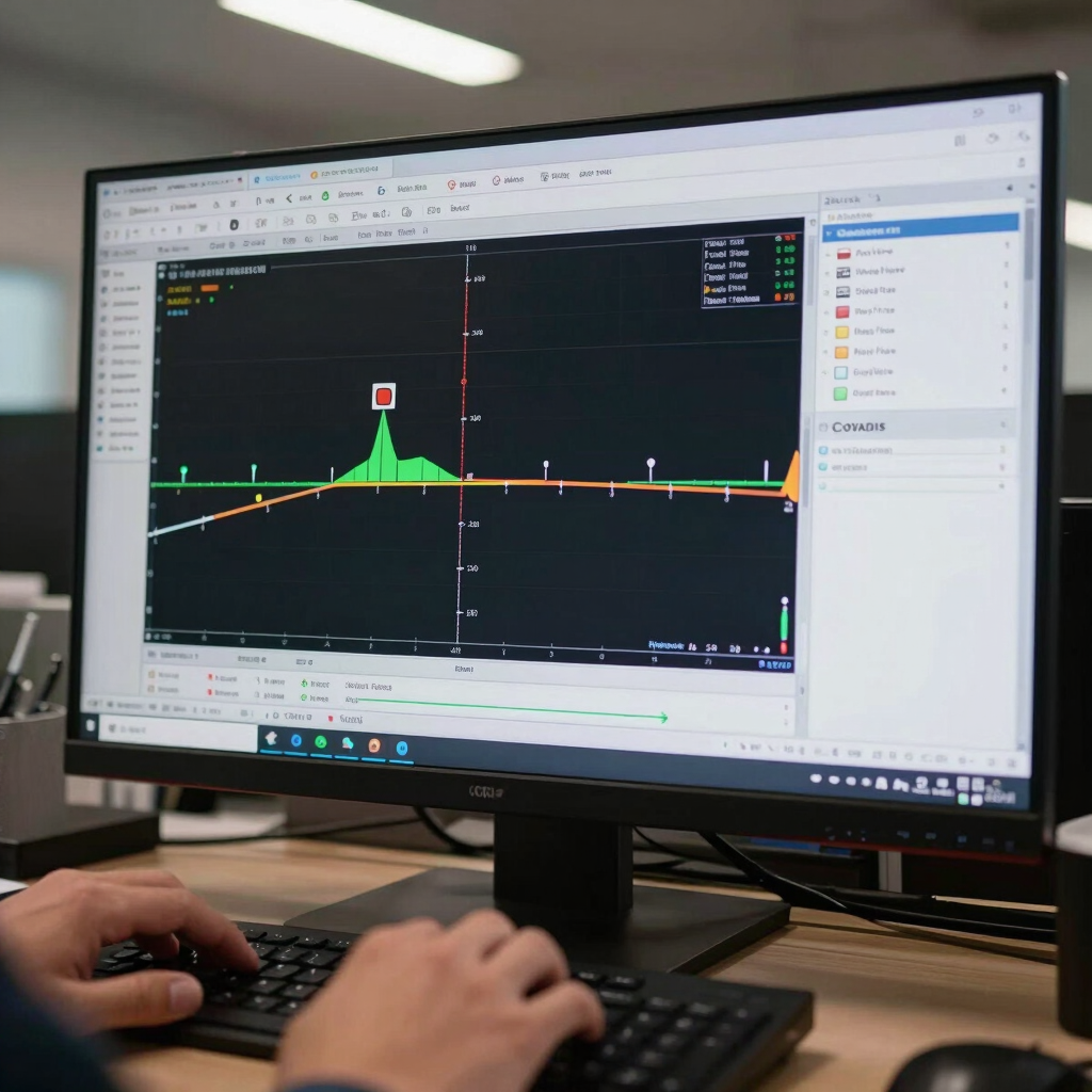
COVADIS
Systèmes d’information géographique et modélisation BIM pour la gestion de projets d’infrastructure complexes.
Calcul topographique, VRD et conception routière. Livrables conformes aux standards des marchés publics camerounais.
Positionnement centimétrique en temps réel. Levés cadastraux et implantation haute précision.
Ortho-photoplans et MNT par vol automatisé. Couverture rapide de grandes parcelles avec restitution 3D.